The K-Line: a 4.6-kilometre stone message across the Negev
A low chain of stone links once ran almost straight between Mount Romem and Mount Ramon. Too slight to defend and too unusual to be an ordinary path, it may have belonged to an Early Bronze Age symbolic landscape.
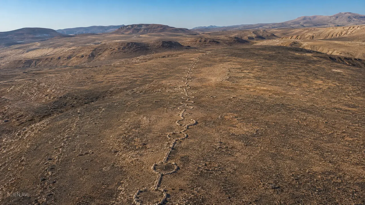
What the site actually looks like
Documentary photographs from the location, clearly separated from the editorial lead illustration.


An Israel Antiquities Authority survey recorded wall segments, linked stone cells, cairns and nearby ritual installations. The letter K came from an early survey label, not an ancient code.
No inscription or securely sealed deposit explains the line's function, and its dating depends largely on nearby cairn fields and settlements.
A line against the landscape
The feature crosses several kilometres in a remarkably direct course and is best perceived in low sunlight.
Not a defensive wall
At roughly one metre wide and one course high, it could be crossed easily and did not separate different land uses.
Nearby cairn clusters, horseshoe installations and upright stones suggest a symbolic or ritual setting.
A procession route, sacred boundary or communal act may fit better than a practical barrier, but none is yet proven.